Red Flag Warning 10/17 – 10/19
Update: The earlier Fire Weather Watch is upgraded to a Red Flag Warning indicating that critical fire weather conditions are either occurring now or will shortly.
Be careful and report any fire activity by calling 911. If phone service is not available use your radios on CMD31 or CMD31D if the repeater is down or you cannot reach the repeater. Everyone please monitor CMD31.
From https://www.weather.gov/mtr/
Gusty north-northeast winds are expected to develop as an “inside slider” system moves into the Great Basin this weekend. Humidities will still be on the higher end at the start of the event on Thursday, but are expected to quickly dry out as low as 10% Friday and Saturday. Peak winds are expected overnight Thursday night into Friday morning for the North Bay and Bay Area. Most areas across the region will be affected to some degree, with likely exceptions being the immediate Big Sur coast, Monterey Bay coast, and the Marin/Sonoma coast. Winds largely on the order of 25-35 mph can be expected with gusts to 45 mph…isolated gusts to 65 mph across the highest terrain and ridgetops, most notably the North Bay Interior Mountains and the Diablo Range.
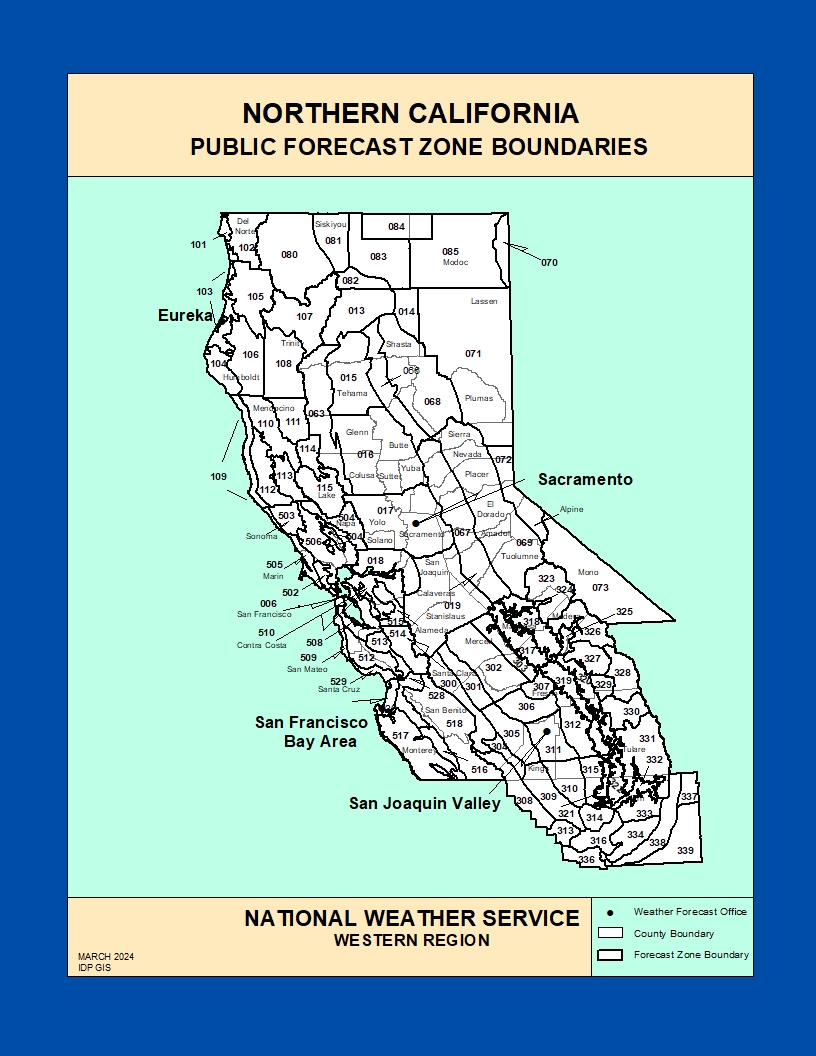
- AFFECTED AREA… Fire Weather Zone 006 San Francisco, Fire Weather Zone 502 Marin Coastal Range, Fire Weather Zone 503 Sonoma Coastal Range, Fire Weather Zone 504 North Bay Interior Mountains, Fire Weather Zone 506 North Bay Interior Valleys, Fire Weather Zone 508 San Francisco Bay Shoreline, Fire Weather Zone 509 San Francisco Peninsula Coast, Fire Weather Zone 510 East Bay Interior Valleys, Fire Weather Zone 512 Santa Cruz Mountains, Fire Weather Zone 513 Santa Clara Valley Including San Jose, Fire Weather Zone 514 Eastern Santa Clara Hills and Fire Weather Zone 515 East Bay Hills.
- TIMING… 11 AM Thursday until 5 PM Saturday
- WINDS… North and northeast 20 to 30 mph with gusts up to 45 mph. Potential for gusts up to 65 mph along ridgetops and the highest terrain.
- RELATIVE HUMIDITY… As low as 10 percent.
- LIGHTNING… None.
- IMPACTS… The combination of gusty winds and low humidity can cause fire to rapidly grow in size and intensity. Outdoor burning is not recommended. Despite recent cool weather and high humidity, we are expecting a widespread and prolonged offshore wind event which will likely dry fuels out very quickly given their volatility over the past several weeks.
- PRECAUTIONARY/PREPAREDNESS ACTIONS… A Red Flag Warning means that critical fire weather conditions are either occurring now…or will shortly. A combination of strong winds…low relative humidity…and warm temperatures can contribute to extreme fire behavior.